TYPE:
SENSOR
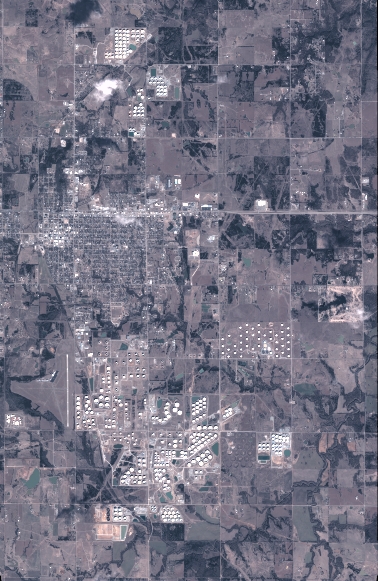
LAYER:
DS_PHR1A_201801161718000_FR1_PX_W097N35_0424_01157
FORMAT:
DIMAP
RASTER:
image/jp2
General Information
Map Name
Geometric Processing Level
Radiometric Processing Level
BASIC
Image dimensions
Number of columns
4161
Number of rows
6399
Number of spectral bands
4
Dataset framing
Vertice
Longitude (DEG)
Latitude (DEG)
Row
Col
#1
-96.78607199515027
36.0273802075638
1
#2
-96.69253490564338
36.02774758017666
#3
-96.69261310444696
35.91282256240952
#4
-96.78594700986896
35.9122901611657
Dataset sources
PHR
Coordinate Reference System
Projected Coordinate System
Geocoding tables identification
EPSG(6.3)
Production
Production Date
2018-06-16T14:35:35.801
Job identification
3072550101-2
Dataset Producer Identification
AIRBUS DS GEO
Producer link
http://www.geo-airbusds.com
Quicklook
Copyright