TYPE:
SENSOR
LAYER:
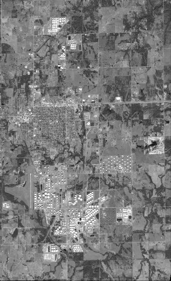
DS_PHR1A_201801041710434_FR1_PX_W097N35_0424_01117
FORMAT:
DIMAP
RASTER:
image/jp2
General Information
Map Name
Geometric Processing Level
Radiometric Processing Level
BASIC
Image dimensions
Number of columns
15025
Number of rows
24696
Number of spectral bands
1
Dataset framing
Vertice
Longitude (DEG)
Latitude (DEG)
Row
Col
#1
-96.78622769033203
36.02987657995975
#2
-96.69258435362929
36.02776262911829
#3
-96.69261638725521
35.91122813947008
#4
-96.78595917073433
35.9129060059229
Dataset sources
PHR
Coordinate Reference System
Projected Coordinate System
Geocoding tables identification
EPSG(6.3)
Production
Production Date
2018-06-16T14:38:29.536
Job identification
3072552101-1
Dataset Producer Identification
AIRBUS DS GEO
Producer link
http://www.geo-airbusds.com
Quicklook
Copyright