TYPE:
SENSOR
LAYER:
DS_PHR1B_201711241725565_FR1_PX_W097N35_0424_01117
FORMAT:
DIMAP
RASTER:
image/jp2
General Information
Map Name
Geometric Processing Level
Radiometric Processing Level
BASIC
Image dimensions
Number of columns
4098
Number of rows
6146
Number of spectral bands
4
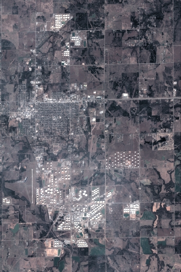
Dataset framing
Vertice
Longitude (DEG)
Latitude (DEG)
Row
Col
#1
-96.78597170843659
36.02822691019661
1
#2
-96.69257349425405
36.02660225955639
#3
-96.69261617386086
35.91272509216787
#4
-96.78595564108166
35.91447321663799
Dataset sources
PHR
Coordinate Reference System
Projected Coordinate System
Geocoding tables identification
EPSG(6.3)
Production
Production Date
2018-06-17T02:30:20.827
Job identification
3072563101-2
Dataset Producer Identification
AIRBUS DS GEO
Producer link
http://www.geo-airbusds.com
Quicklook
Copyright