TYPE:
SENSOR
LAYER:
DS_PHR1B_201711191714583_FR1_PX_W097N35_0424_01115
FORMAT:
DIMAP
RASTER:
image/jp2
General Information
Map Name
Geometric Processing Level
Radiometric Processing Level
BASIC
Image dimensions
Number of columns
4021
Number of rows
6134
Number of spectral bands
4
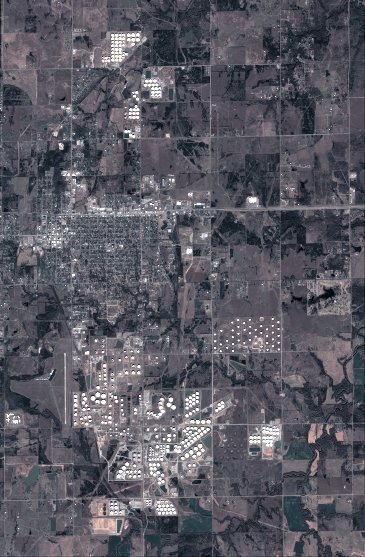
Dataset framing
Vertice
Longitude (DEG)
Latitude (DEG)
Row
Col
#1
-96.78613769498843
36.0289040265075
1
#2
-96.69255744760834
36.02737710046373
#3
-96.69261752602765
35.91502530015382
#4
-96.78595851831946
35.91628033511981
Dataset sources
PHR
Coordinate Reference System
Projected Coordinate System
Geocoding tables identification
EPSG(6.3)
Production
Production Date
2018-06-17T02:23:41.745
Job identification
3072566101-2
Dataset Producer Identification
AIRBUS DS GEO
Producer link
http://www.geo-airbusds.com
Quicklook
Copyright