TYPE:
SENSOR
LAYER:
DS_PHR1A_201710231722146_FR1_PX_W097N35_0424_01116
FORMAT:
DIMAP
RASTER:
image/jp2
General Information
Map Name
Geometric Processing Level
Radiometric Processing Level
BASIC
Image dimensions
Number of columns
4191
Number of rows
6168
Number of spectral bands
4
Dataset framing
Vertice
Longitude (DEG)
Latitude (DEG)
Row
Col
#1
-96.78602723904612
36.02783125694832
1
#2
-96.69255093958523
36.02769567632216
#3
-96.69262480396118
35.91632445664433
#4
-96.78597438351433
35.91644907896892
Dataset sources
PHR
Coordinate Reference System
Projected Coordinate System
Geocoding tables identification
EPSG(6.3)
Production
Production Date
2018-06-16T14:48:24.491
Job identification
3072582101-2
Dataset Producer Identification
AIRBUS DS GEO
Producer link
http://www.geo-airbusds.com
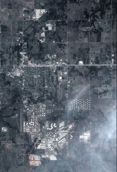
Quicklook
Copyright