TYPE:
SENSOR
LAYER:
DS_PHR1B_201708191722236_FR1_PX_W097N35_0424_01112
FORMAT:
DIMAP
RASTER:
image/jp2
General Information
Map Name
Geometric Processing Level
Radiometric Processing Level
BASIC
Image dimensions
Number of columns
16862
Number of rows
24472
Number of spectral bands
1
Dataset framing
Vertice
Longitude (DEG)
Latitude (DEG)
Row
Col
#1
-96.78598325189768
36.02557981386494
#2
-96.69252620527767
36.02564841202221
#3
-96.69263211567272
35.91656172488249
#4
-96.7859710794952
35.91653829709626
Dataset sources
PHR
Coordinate Reference System
Projected Coordinate System
Geocoding tables identification
EPSG(6.3)
Production
Production Date
2018-06-16T14:55:19.230
Job identification
3072603101-1
Dataset Producer Identification
AIRBUS DS GEO
Producer link
http://www.geo-airbusds.com
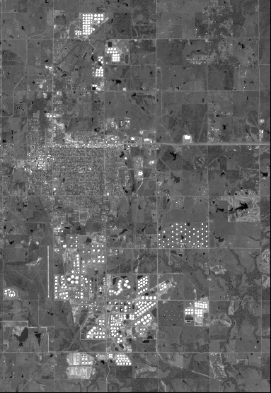
Quicklook
Copyright