TYPE:
SENSOR
LAYER:
DS_PHR1A_201806091711001_FR1_PX_W097N35_0424_01263
FORMAT:
DIMAP
RASTER:
image/jp2
General Information
Map Name
Geometric Processing Level
Radiometric Processing Level
BASIC
Image dimensions
Number of columns
3786
Number of rows
6995
Number of spectral bands
4
Dataset framing
Vertice
Longitude (DEG)
Latitude (DEG)
Row
Col
#1
-96.78620294366753
36.04333352945929
1
#2
-96.69251259304029
36.04076585164348
#3
-96.69261795053379
35.90890436755819
#4
-96.78594699810142
35.91099180178512
Dataset sources
PHR
Coordinate Reference System
Projected Coordinate System
Geocoding tables identification
EPSG(6.3)
Production
Production Date
2018-06-16T14:16:56.706
Job identification
3072504101-002
Dataset Producer Identification
AIRBUS DS GEO
Producer link
http://www.geo-airbusds.com
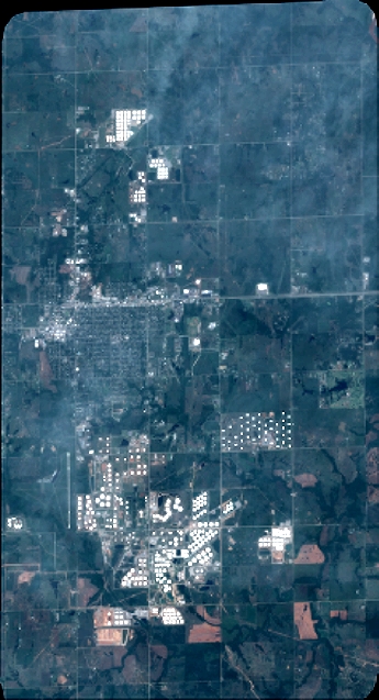
Quicklook
Copyright