TYPE:
SENSOR
LAYER:
DS_PHR1A_201805051728368_FR1_PX_W097N35_0424_01119
FORMAT:
DIMAP
RASTER:
image/jp2
General Information
Map Name
Geometric Processing Level
Radiometric Processing Level
BASIC
Image dimensions
Number of columns
3720
Number of rows
6177
Number of spectral bands
4
Dataset framing
Vertice
Longitude (DEG)
Latitude (DEG)
Row
Col
#1
-96.78594611307524
36.04638966622053
1
#2
-96.69260733005271
36.03983926393344
#3
-96.69260704315508
35.90344241775509
#4
-96.78605012586696
35.91024452315344
Dataset sources
PHR
Coordinate Reference System
Projected Coordinate System
Geocoding tables identification
EPSG(6.3)
Production
Production Date
2018-06-16T14:21:31.777
Job identification
3072517101-002
Dataset Producer Identification
AIRBUS DS GEO
Producer link
http://www.geo-airbusds.com
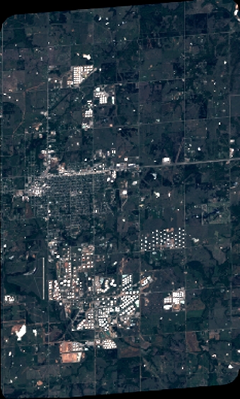
Quicklook
Copyright