TYPE:
SENSOR
LAYER:
DS_PHR1A_201804161725257_FR1_PX_W097N35_0424_01298
FORMAT:
DIMAP
RASTER:
image/jp2
General Information
Map Name
Geometric Processing Level
Radiometric Processing Level
BASIC
Image dimensions
Number of columns
4113
Number of rows
7193
Number of spectral bands
4
Dataset framing
Vertice
Longitude (DEG)
Latitude (DEG)
Row
Col
#1
-96.78598494568617
36.04069327683189
1
#2
-96.69249956729493
36.0407531467206
#3
-96.69262417879472
35.91086813633552
#4
-96.78606682914349
35.91106384697567
Dataset sources
PHR
Coordinate Reference System
Projected Coordinate System
Geocoding tables identification
EPSG(6.3)
Production
Production Date
2018-06-16T14:24:49.685
Job identification
3072522101-002
Dataset Producer Identification
AIRBUS DS GEO
Producer link
http://www.geo-airbusds.com
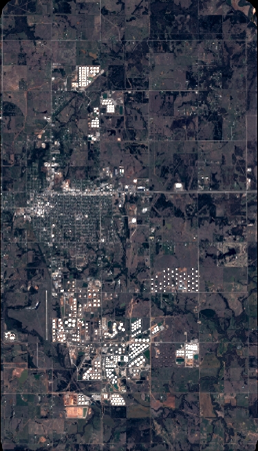
Quicklook
Copyright