TYPE:
SENSOR
LAYER:
DS_PHR1B_201804121707106_FR1_PX_W097N35_0424_01235
FORMAT:
DIMAP
RASTER:
image/jp2
General Information
Map Name
Geometric Processing Level
Radiometric Processing Level
BASIC
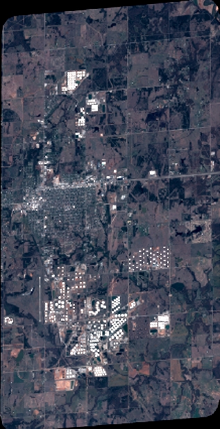
Image dimensions
Number of columns
3478
Number of rows
6810
Number of spectral bands
4
Dataset framing
Vertice
Longitude (DEG)
Latitude (DEG)
Row
Col
#1
-96.78635222755956
36.0463724502597
1
#2
-96.69262100415121
36.0403055505929
#3
-96.69262399780162
35.90434645158754
#4
-96.78593760075169
35.90978615088145
Dataset sources
PHR
Coordinate Reference System
Projected Coordinate System
Geocoding tables identification
EPSG(6.3)
Production
Production Date
2018-06-16T14:26:25.332
Job identification
3072524101-002
Dataset Producer Identification
AIRBUS DS GEO
Producer link
http://www.geo-airbusds.com
Quicklook
Copyright