TYPE:
SENSOR
LAYER:
DS_PHR1B_201804121707106_FR1_PX_W097N35_0424_01235
FORMAT:
DIMAP
RASTER:
image/jp2
General Information
Map Name
Geometric Processing Level
Radiometric Processing Level
BASIC
Image dimensions
Number of columns
13905
Number of rows
27240
Number of spectral bands
1
Dataset framing
Vertice
Longitude (DEG)
Latitude (DEG)
Row
Col
#1
-96.78634780357372
36.04637230060007
#2
-96.69264351783715
36.04030729440802
#3
-96.69264651662513
35.90433293496611
#4
-96.78593340225574
35.90977090296593
Dataset sources
PHR
Coordinate Reference System
Projected Coordinate System
Geocoding tables identification
EPSG(6.3)
Production
Production Date
2018-06-16T14:26:38.978
Job identification
3072524101-001
Dataset Producer Identification
AIRBUS DS GEO
Producer link
http://www.geo-airbusds.com
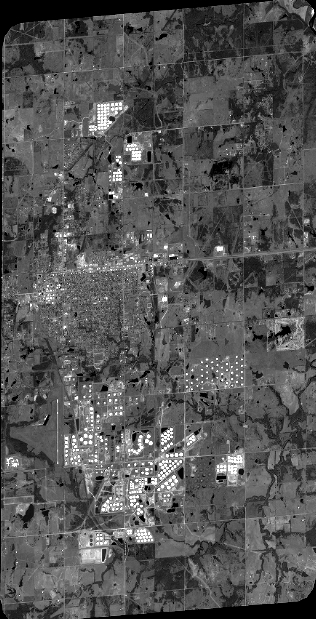
Quicklook
Copyright