TYPE:
SENSOR
LAYER:
DS_PHR1A_201804091728326_FR1_PX_W097N35_0424_01179
FORMAT:
DIMAP
RASTER:
image/jp2
General Information
Map Name
Geometric Processing Level
Radiometric Processing Level
BASIC
Image dimensions
Number of columns
3810
Number of rows
6523
Number of spectral bands
4
Dataset framing
Vertice
Longitude (DEG)
Latitude (DEG)
Row
Col
#1
-96.78598627727301
36.04592326236323
1
#2
-96.69259214665024
36.04008925859834
#3
-96.69261593645257
35.90459278590502
#4
-96.78608539242693
35.91071816957572
Dataset sources
PHR
Coordinate Reference System
Projected Coordinate System
Geocoding tables identification
EPSG(6.3)
Production
Production Date
2018-06-16T14:27:09.531
Job identification
3072527101-002
Dataset Producer Identification
AIRBUS DS GEO
Producer link
http://www.geo-airbusds.com
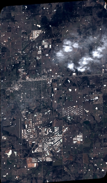
Quicklook
Copyright