TYPE:
SENSOR
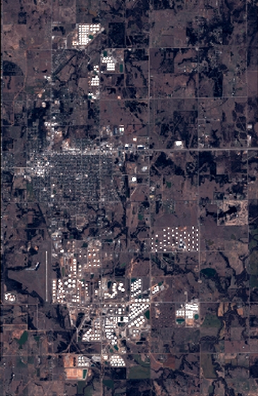
LAYER:
DS_PHR1A_201803161713546_FR1_PX_W097N35_0424_01116
FORMAT:
DIMAP
RASTER:
image/jp2
General Information
Map Name
Geometric Processing Level
Radiometric Processing Level
BASIC
Image dimensions
Number of columns
4022
Number of rows
6168
Number of spectral bands
4
Dataset framing
Vertice
Longitude (DEG)
Latitude (DEG)
Row
Col
#1
-96.78612779119891
36.0289360537849
1
#2
-96.69254491558048
36.02783099685522
#3
-96.69261161095463
35.91528050134774
#4
-96.78595954081358
35.91610839240465
Dataset sources
PHR
Coordinate Reference System
Projected Coordinate System
Geocoding tables identification
EPSG(6.3)
Production
Production Date
2018-06-16T14:29:32.030
Job identification
3072532101-002
Dataset Producer Identification
AIRBUS DS GEO
Producer link
http://www.geo-airbusds.com
Quicklook
Copyright