TYPE:
SENSOR
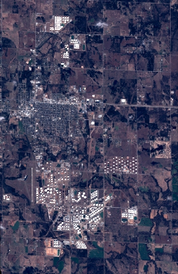
LAYER:
DS_PHR1A_201712071726214_FR1_PX_W097N35_0424_01103
FORMAT:
DIMAP
RASTER:
image/jp2
General Information
Map Name
Geometric Processing Level
Radiometric Processing Level
BASIC
Image dimensions
Number of columns
3947
Number of rows
6095
Number of spectral bands
4
Dataset framing
Vertice
Longitude (DEG)
Latitude (DEG)
Row
Col
#1
-96.78595309321665
36.02729994331327
1
#2
-96.69252734488215
36.03099218188191
#3
-96.69261292507962
35.91513909286257
#4
-96.7859979797062
35.91178680134571
Dataset sources
PHR
Coordinate Reference System
Projected Coordinate System
Geocoding tables identification
EPSG(6.3)
Production
Production Date
2018-06-16T14:39:11.095
Job identification
3072559101-002
Dataset Producer Identification
AIRBUS DS GEO
Producer link
http://www.geo-airbusds.com
Quicklook
Copyright