TYPE:
SENSOR
LAYER:
DS_PHR1B_201709161707328_FR1_PX_W097N35_0424_01043
FORMAT:
DIMAP
RASTER:
image/jp2
General Information
Map Name
Geometric Processing Level
Radiometric Processing Level
BASIC
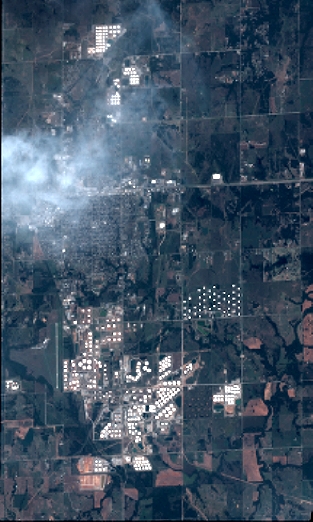
Image dimensions
Number of columns
3434
Number of rows
5729
Number of spectral bands
4
Dataset framing
Vertice
Longitude (DEG)
Latitude (DEG)
Row
Col
#1
-96.78625718327562
36.02842416808756
1
#2
-96.69260122154827
36.0246414473894
#3
-96.69258924423589
35.9113642471354
#4
-96.78595215551111
35.91461329177491
Dataset sources
PHR
Coordinate Reference System
Projected Coordinate System
Geocoding tables identification
EPSG(6.3)
Production
Production Date
2018-06-16T14:43:30.392
Job identification
3072594101-002
Dataset Producer Identification
AIRBUS DS GEO
Producer link
http://www.geo-airbusds.com
Quicklook
Copyright