TYPE:
SENSOR
LAYER:
DS_PHR1B_201310091303406_FR1_PX_W018N64_0119_01697
FORMAT:
DIMAP
RASTER:
image/jp2
General Information
Map Name
Geometric Processing Level
Radiometric Processing Level
BASIC
Image dimensions
Number of columns
9452
Number of rows
9406
Number of spectral bands
4
Dataset framing
Vertice
Longitude (DEG)
Latitude (DEG)
Row
Col
#1
-18.10904856311878
64.84387187729003
1
#2
-17.69145336237287
64.84017012786177
#3
-17.6934506265087
64.65889308676701
#4
-18.10900774379224
64.66311583029376
Dataset sources
PHR
Coordinate Reference System
Projected Coordinate System
Geocoding tables identification
EPSG(6.3)
Production
Production Date
2013-10-11T12:49:03.834
Job identification
685561101-003
Dataset Producer Identification
Astrium Services / Spot Image
Producer link
http://www.astrium-geo.com
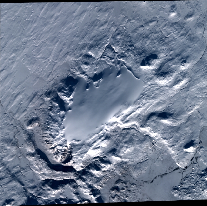
Quicklook
Copyright