TYPE:
SENSOR
LAYER:
DS_PHR1B_201310091303406_FR1_PX_W018N64_0119_01697
FORMAT:
DIMAP
RASTER:
image/jp2
General Information
Map Name
Geometric Processing Level
Radiometric Processing Level
BASIC
Image dimensions
Number of columns
37809
Number of rows
37627
Number of spectral bands
1
Dataset framing
Vertice
Longitude (DEG)
Latitude (DEG)
Row
Col
#1
-18.10904305081603
64.84387906436849
#2
-17.69143677181452
64.84017728352468
#3
-17.69343439321873
64.65888590140165
#4
-18.10900227629661
64.66310862210253
Dataset sources
PHR
Coordinate Reference System
Projected Coordinate System
Geocoding tables identification
EPSG(6.3)
Production
Production Date
2013-10-11T12:51:25.769
Job identification
685561101-001
Dataset Producer Identification
Astrium Services / Spot Image
Producer link
http://www.astrium-geo.com
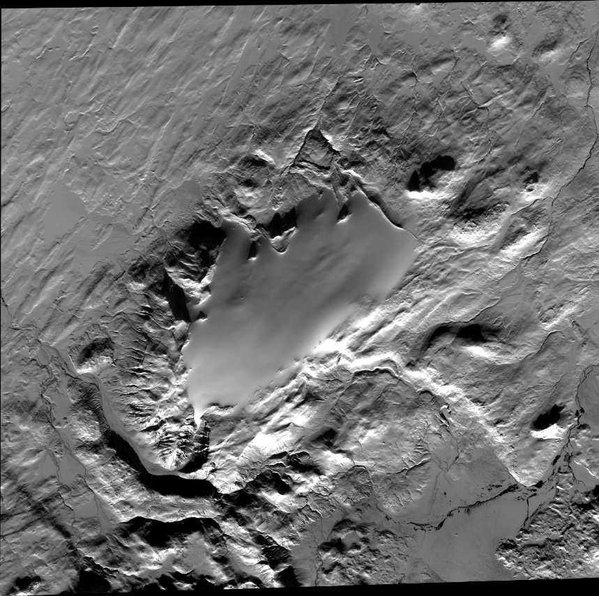
Quicklook
Copyright