TYPE:
SENSOR
LAYER:
DS_PHR1A_201207071351083_SE1_PX_W053N05_0405_01432
FORMAT:
DIMAP
RASTER:
image/jp2
General Information
Map Name
Geometric Processing Level
Radiometric Processing Level
BASIC
Image dimensions
Number of columns
6687
Number of rows
7872
Number of spectral bands
4
Dataset framing
Vertice
Longitude (DEG)
Latitude (DEG)
Row
Col
#1
-52.7547929976899
5.283286160213374
1
#2
-52.60203474126408
5.269424011619535
#3
-52.60225736222199
5.105503539858686
#4
-52.75400470387513
5.11749699453131
Dataset sources
PHR
Coordinate Reference System
Projected Coordinate System
Geocoding tables identification
EPSG(6.3)
Production
Production Date
2012-07-17T16:02:20.814
Job identification
562347101-002
Dataset Producer Identification
SISA
Producer link
http://www.spotimage.fr
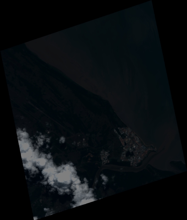
Quicklook
Copyright