TYPE:
SENSOR
LAYER:
DS_PHR1A_201207031052344_FR1_PX_E001N44_0111_02236
FORMAT:
DIMAP
RASTER:
image/jp2
General Information
Map Name
Geometric Processing Level
Radiometric Processing Level
BASIC
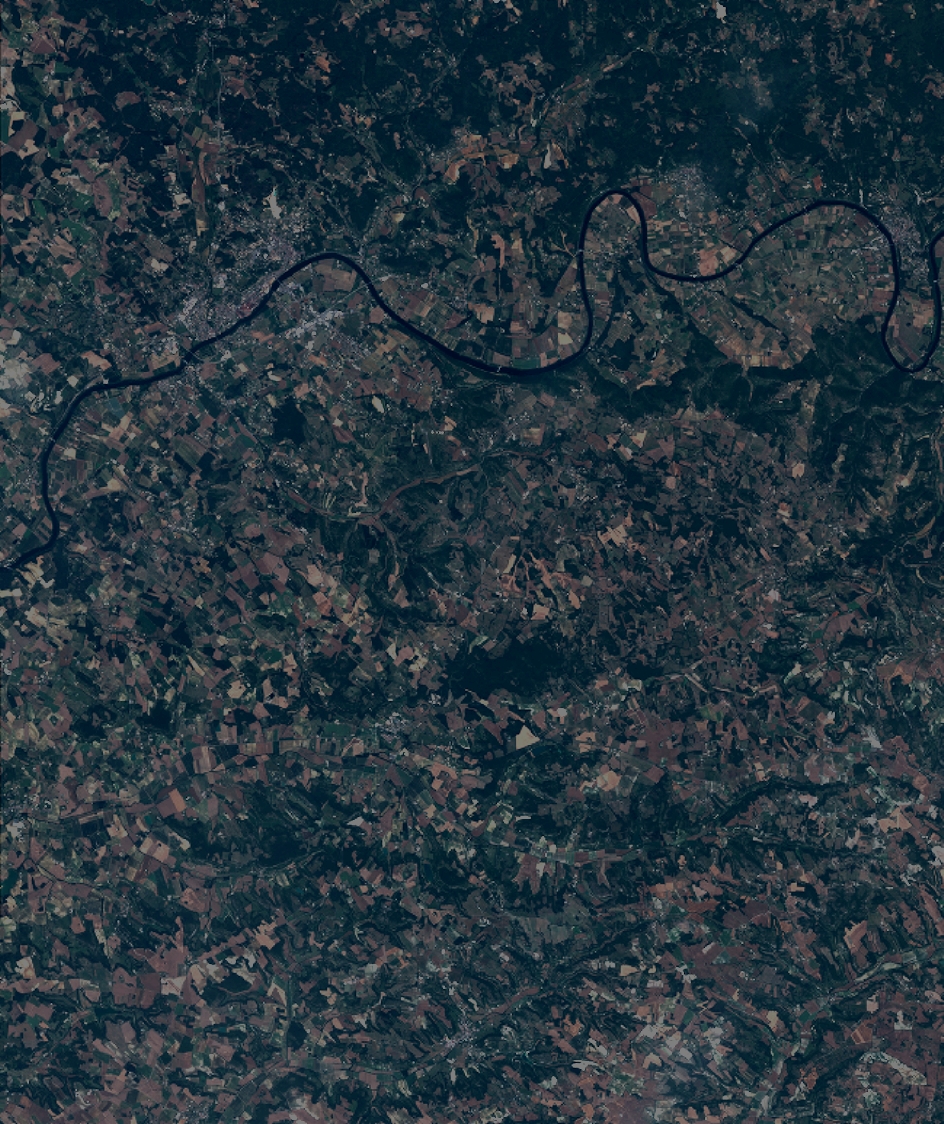
Image dimensions
Number of columns
10375
Number of rows
12353
Number of spectral bands
4
Dataset framing
Vertice
Longitude (DEG)
Latitude (DEG)
Row
Col
#1
0.8865333340940063
44.54886743170009
1
#2
1.151544474034454
44.55189233595725
#3
1.150487231364032
44.32379619662827
#4
0.887773271412159
44.31949483058065
Dataset sources
PHR
Coordinate Reference System
Projected Coordinate System
Geocoding tables identification
EPSG(6.3)
Production
Production Date
2012-07-09T15:36:49.204
Job identification
IPU_20120709_5918-004
Dataset Producer Identification
SISA
Producer link
http://www.spotimage.fr
Quicklook
Copyright