TYPE:
SENSOR
LAYER:
DS_PHR1A_201207031053016_FR1_PX_E001N44_0111_02218
FORMAT:
DIMAP
RASTER:
image/jp2
General Information
Map Name
Geometric Processing Level
Radiometric Processing Level
BASIC
Image dimensions
Number of columns
10375
Number of rows
12253
Number of spectral bands
4
Dataset framing
Vertice
Longitude (DEG)
Latitude (DEG)
Row
Col
#1
0.8879015768038102
44.55445919144724
1
#2
1.149958031256341
44.54839226318273
#3
1.149012288226036
44.31838702260882
#4
0.889051022315325
44.32316506311658
Dataset sources
PHR
Coordinate Reference System
Projected Coordinate System
Geocoding tables identification
EPSG(6.3)
Production
Production Date
2012-07-09T16:10:04.008
Job identification
IPU_20120709_5918-008
Dataset Producer Identification
SISA
Producer link
http://www.spotimage.fr
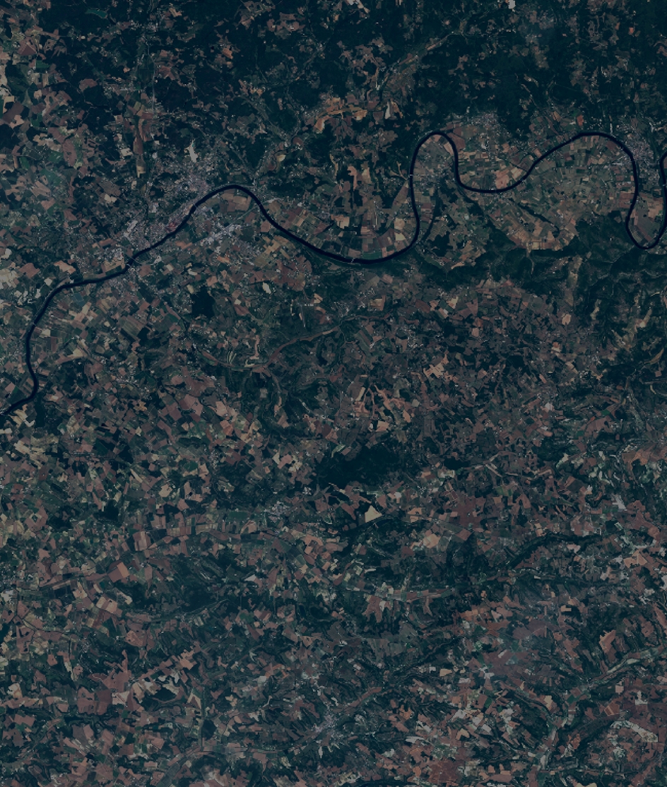
Quicklook
Copyright