TYPE:
SENSOR
LAYER:
DS_PHR1A_201209031114020_FR1_PX_E000N51_0114_00967
FORMAT:
DIMAP
RASTER:
image/jp2
General Information
Map Name
Geometric Processing Level
Radiometric Processing Level
BASIC
Image dimensions
Number of columns
9721
Number of rows
5300
Number of spectral bands
4
Dataset framing
Vertice
Longitude (DEG)
Latitude (DEG)
Row
Col
#1
-0.08049706369854383
51.5539727483827
1
#2
0.2098378382862778
51.55835619996009
#3
0.2096097113154838
51.45879292193746
#4
-0.08031621447538669
51.4546883340477
Dataset sources
PHR
Coordinate Reference System
Projected Coordinate System
Geocoding tables identification
EPSG(6.3)
Production
Production Date
2016-04-20T14:12:20.361
Job identification
1748268101-003
Dataset Producer Identification
AIRBUS DS GEO
Producer link
http://www.geo-airbusds.com
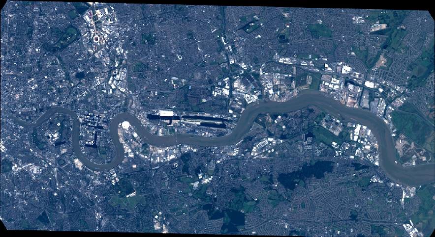
Quicklook
Copyright