TYPE:
SENSOR
LAYER:
DS_PHR1A_201209031113256_FR1_PX_E000N51_0114_00961
FORMAT:
DIMAP
RASTER:
image/jp2
General Information
Map Name
Geometric Processing Level
Radiometric Processing Level
BASIC
Image dimensions
Number of columns
9930
Number of rows
5267
Number of spectral bands
4
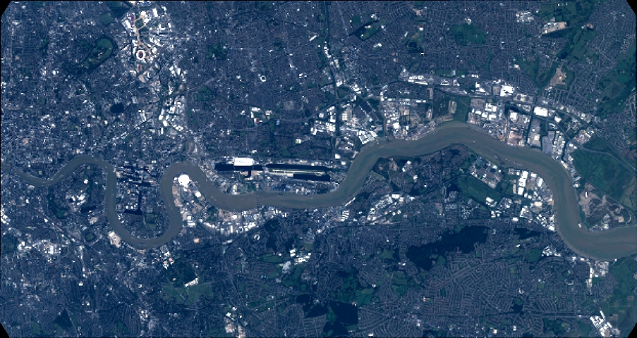
Dataset framing
Vertice
Longitude (DEG)
Latitude (DEG)
Row
Col
#1
-0.08056559327670904
51.55413740276749
1
#2
0.2098886363399717
51.55402860157386
#3
0.2096041147772683
51.45774554156309
#4
-0.08027366546855876
51.45789632424201
Dataset sources
PHR
Coordinate Reference System
Projected Coordinate System
Geocoding tables identification
EPSG(6.3)
Production
Production Date
2016-04-20T14:15:09.662
Job identification
1748268101-004
Dataset Producer Identification
AIRBUS DS GEO
Producer link
http://www.geo-airbusds.com
Quicklook
Copyright