TYPE:
SENSOR
LAYER:
DS_PHR1A_201209031114020_FR1_PX_E000N51_0114_00967
FORMAT:
DIMAP
RASTER:
image/jp2
General Information
Map Name
Geometric Processing Level
Radiometric Processing Level
BASIC
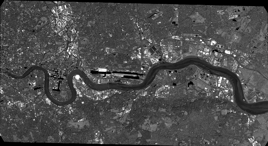
Image dimensions
Number of columns
38881
Number of rows
21197
Number of spectral bands
1
Dataset framing
Vertice
Longitude (DEG)
Latitude (DEG)
Row
Col
#1
-0.08049458910927125
51.55397110301276
#2
0.2098359542825338
51.55835714387015
#3
0.2096053575442167
51.45879559370466
#4
-0.08031621570805172
51.45468842475587
Dataset sources
PHR
Coordinate Reference System
Projected Coordinate System
Geocoding tables identification
EPSG(6.3)
Production
Production Date
2016-04-20T14:12:13.675
Job identification
1748268101-001
Dataset Producer Identification
AIRBUS DS GEO
Producer link
http://www.geo-airbusds.com
Quicklook
Copyright