TYPE:
SENSOR
LAYER:
DS_PHR1A_201209031113256_FR1_PX_E000N51_0114_00961
FORMAT:
DIMAP
RASTER:
image/jp2
General Information
Map Name
Geometric Processing Level
Radiometric Processing Level
BASIC
Image dimensions
Number of columns
39721
Number of rows
21068
Number of spectral bands
1
Dataset framing
Vertice
Longitude (DEG)
Latitude (DEG)
Row
Col
#1
-0.08058866486630709
51.55414877296395
#2
0.2098909964681769
51.55404162358555
#3
0.2096045950514389
51.4577462215247
#4
-0.08029848909261129
51.45789535687878
Dataset sources
PHR
Coordinate Reference System
Projected Coordinate System
Geocoding tables identification
EPSG(6.3)
Production
Production Date
2016-04-20T14:12:07.364
Job identification
1748268101-002
Dataset Producer Identification
AIRBUS DS GEO
Producer link
http://www.geo-airbusds.com
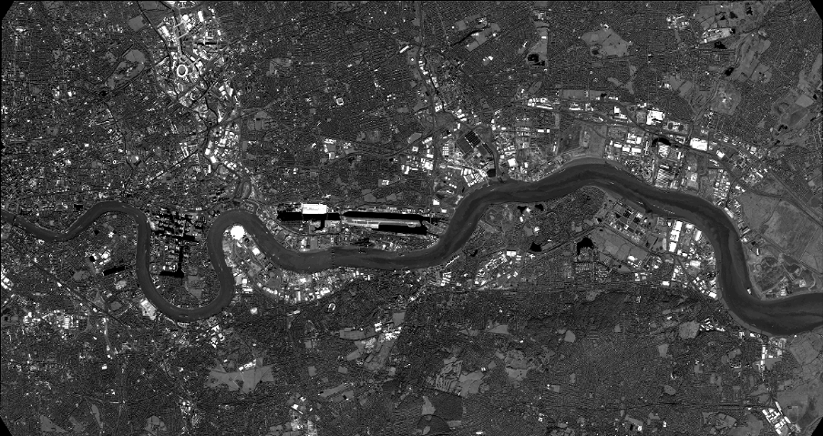
Quicklook
Copyright