TYPE:
SENSOR
LAYER:
DS_PHR1B_201809151029215_FR1_PX_E004N45_1120_00859
FORMAT:
DIMAP
RASTER:
image/jp2
General Information
Map Name
Geometric Processing Level
Radiometric Processing Level
BASIC
Image dimensions
Number of columns
4637
Number of rows
4686
Number of spectral bands
4
Dataset framing
Vertice
Longitude (DEG)
Latitude (DEG)
Row
Col
#1
4.772167785641105
45.79912229472459
1
#2
4.920513986954509
45.8040516119495
#3
4.920701395163433
45.71074811799239
#4
4.772506536908909
45.70513762642738
Dataset sources
PHR
Coordinate Reference System
Projected Coordinate System
Geocoding tables identification
EPSG(6.3)
Production
Production Date
2019-07-23T13:11:00.615
Job identification
4337862101-004
Dataset Producer Identification
AIRBUS DS GEO
Producer link
http://www.geo-airbusds.com
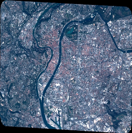
Quicklook
Copyright