TYPE:
SENSOR
LAYER:
DS_PHR1B_201809151029590_FR1_PX_E004N45_1120_00867
FORMAT:
DIMAP
RASTER:
image/jp2
General Information
Map Name
Geometric Processing Level
Radiometric Processing Level
BASIC
Image dimensions
Number of columns
4820
Number of rows
4739
Number of spectral bands
4
Dataset framing
Vertice
Longitude (DEG)
Latitude (DEG)
Row
Col
#1
4.771990712999201
45.80832720406538
1
#2
4.920450941787802
45.79845077025975
#3
4.920692820789624
45.70224751275844
#4
4.772250866403764
45.71180928653396
Dataset sources
PHR
Coordinate Reference System
Projected Coordinate System
Geocoding tables identification
EPSG(6.3)
Production
Production Date
2019-07-23T13:11:08.281
Job identification
4337862101-005
Dataset Producer Identification
AIRBUS DS GEO
Producer link
http://www.geo-airbusds.com
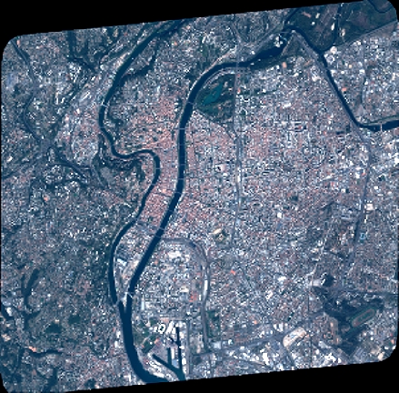
Quicklook
Copyright