TYPE:
SENSOR
LAYER:
DS_PHR1B_201809151029454_FR1_PX_E004N45_1120_00854
FORMAT:
DIMAP
RASTER:
image/jp2
General Information
Map Name
Geometric Processing Level
Radiometric Processing Level
BASIC
Image dimensions
Number of columns
4822
Number of rows
4666
Number of spectral bands
4
Dataset framing
Vertice
Longitude (DEG)
Latitude (DEG)
Row
Col
#1
4.772077422721549
45.80347159636264
1
#2
4.920477115982103
45.79854556518366
#3
4.920640883156998
45.70725136105664
#4
4.772230030341045
45.71172243664515
Dataset sources
PHR
Coordinate Reference System
Projected Coordinate System
Geocoding tables identification
EPSG(6.3)
Production
Production Date
2019-07-23T13:11:21.011
Job identification
4337862101-006
Dataset Producer Identification
AIRBUS DS GEO
Producer link
http://www.geo-airbusds.com
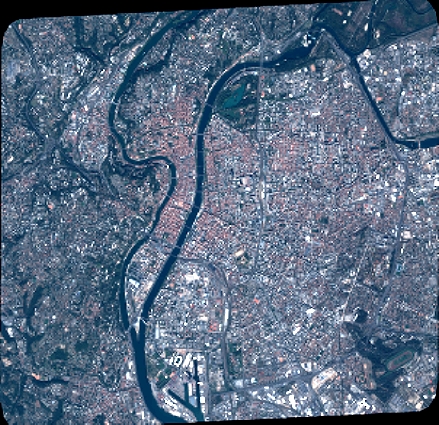
Quicklook
Copyright