TYPE:
SENSOR
LAYER:
DS_PHR1B_201809151029215_FR1_PX_E004N45_1120_00859
FORMAT:
DIMAP
RASTER:
image/jp2
General Information
Map Name
Geometric Processing Level
Radiometric Processing Level
BASIC
Image dimensions
Number of columns
18544
Number of rows
18746
Number of spectral bands
1
Dataset framing
Vertice
Longitude (DEG)
Latitude (DEG)
Row
Col
#1
4.772158747937866
45.79913844214853
#2
4.920497825866916
45.80406759987609
#3
4.920684485442944
45.7107393527041
#4
4.772497431886529
45.7051289911359
Dataset sources
PHR
Coordinate Reference System
Projected Coordinate System
Geocoding tables identification
EPSG(6.3)
Production
Production Date
2019-07-23T13:10:10.325
Job identification
4337862101-001
Dataset Producer Identification
AIRBUS DS GEO
Producer link
http://www.geo-airbusds.com
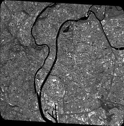
Quicklook
Copyright