TYPE:
SENSOR
LAYER:
DS_PHR1B_201804181125004_FR1_PX_W006N34_0501_01026
FORMAT:
DIMAP
RASTER:
image/tiff
General Information
Map Name
Geometric Processing Level
Radiometric Processing Level
BASIC
Image dimensions
Number of columns
4587
Number of rows
5603
Number of spectral bands
4
Dataset framing
Vertice
Longitude (DEG)
Latitude (DEG)
Row
Col
#1
-5.630500021693181
33.99370185844639
1
#2
-5.518372391018446
33.98715986730147
#3
-5.519047323468117
33.87706543688376
#4
-5.631579905010793
33.8842737533427
Dataset sources
PHR
Coordinate Reference System
Projected Coordinate System
Geocoding tables identification
EPSG(6.3)
Production
Production Date
2019-02-05T17:01:45.911
Job identification
3741807101-2
Dataset Producer Identification
AIRBUS DS GEO
Producer link
http://www.geo-airbusds.com
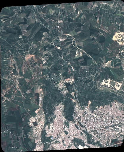
Quicklook
Copyright