TYPE:
SENSOR
LAYER:
DS_PHR1B_201804181125257_FR1_PX_W006N34_0501_01007
FORMAT:
DIMAP
RASTER:
image/tiff
General Information
Map Name
Geometric Processing Level
Radiometric Processing Level
BASIC
Image dimensions
Number of columns
4507
Number of rows
5527
Number of spectral bands
4
Dataset framing
Vertice
Longitude (DEG)
Latitude (DEG)
Row
Col
#1
-5.630424549384068
33.98769774459327
1
#2
-5.518141279800186
33.98848175971656
#3
-5.519060143778399
33.88245829837664
#4
-5.631927527190557
33.88219950607219
Dataset sources
PHR
Coordinate Reference System
Projected Coordinate System
Geocoding tables identification
EPSG(6.3)
Production
Production Date
2019-02-05T17:01:35.902
Job identification
3741807101-2
Dataset Producer Identification
AIRBUS DS GEO
Producer link
http://www.geo-airbusds.com
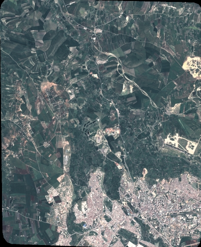
Quicklook
Copyright