TYPE:
SENSOR
LAYER:
DS_PHR1A_201202250024589_FR1_PX_E144S38_1205_01084
FORMAT:
DIMAP
RASTER:
image/jp2
General Information
Map Name
Geometric Processing Level
Radiometric Processing Level
BASIC
Image dimensions
Number of columns
41372
Number of rows
23641
Number of spectral bands
1
Dataset framing
Vertice
Longitude (DEG)
Latitude (DEG)
Row
Col
#1
144.8366348941257
-37.76095790762828
#2
145.0744559611167
-37.7586520013821
#3
145.0746744967271
-37.87470697921852
#4
144.8363897677562
-37.87739532136507
Dataset sources
PHR
Coordinate Reference System
Projected Coordinate System
Geocoding tables identification
EPSG(6.3)
Production
Production Date
2012-12-27T12:56:11.349
Job identification
PRG_FC_5110-001
Dataset Producer Identification
SISA
Producer link
http://www.spotimage.fr
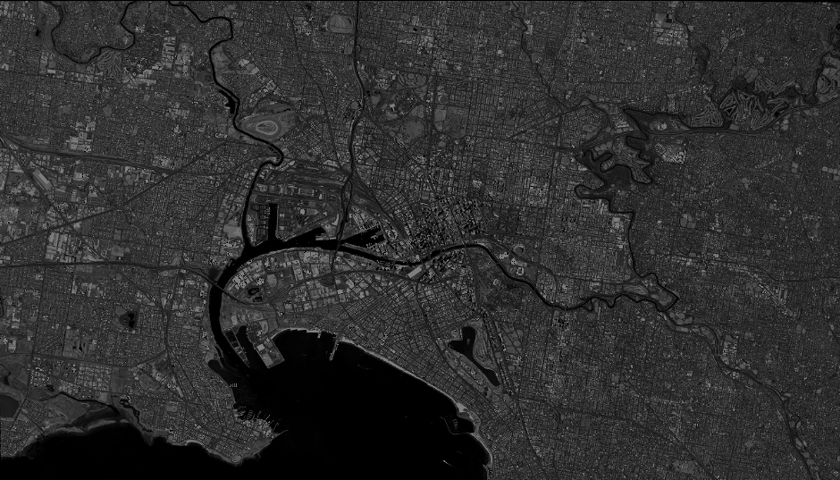
Quicklook
Copyright