TYPE:
SENSOR
LAYER:
DS_PHR1A_201202250025536_FR1_PX_E144S38_1205_01120
FORMAT:
DIMAP
RASTER:
image/jp2
General Information
Map Name
Geometric Processing Level
Radiometric Processing Level
BASIC
Image dimensions
Number of columns
41148
Number of rows
24467
Number of spectral bands
1
Dataset framing
Vertice
Longitude (DEG)
Latitude (DEG)
Row
Col
#1
144.8363844450431
-37.75929226395625
#2
145.0744390949231
-37.7544831042905
#3
145.0746075890819
-37.87528835347373
#4
144.8361782874666
-37.8795580400547
Dataset sources
PHR
Coordinate Reference System
Projected Coordinate System
Geocoding tables identification
EPSG(6.3)
Production
Production Date
2012-12-27T12:56:37.174
Job identification
PRG_FC_5109-001
Dataset Producer Identification
SISA
Producer link
http://www.spotimage.fr
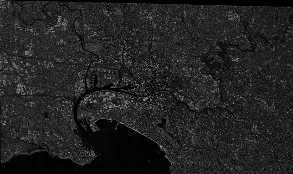
Quicklook
Copyright