TYPE:
SENSOR
LAYER:
DS_PHR1A_201211250455455_FR1_PX_E086N27_1120_03214
FORMAT:
DIMAP
RASTER:
image/jp2
General Information
Map Name
Geometric Processing Level
Radiometric Processing Level
BASIC
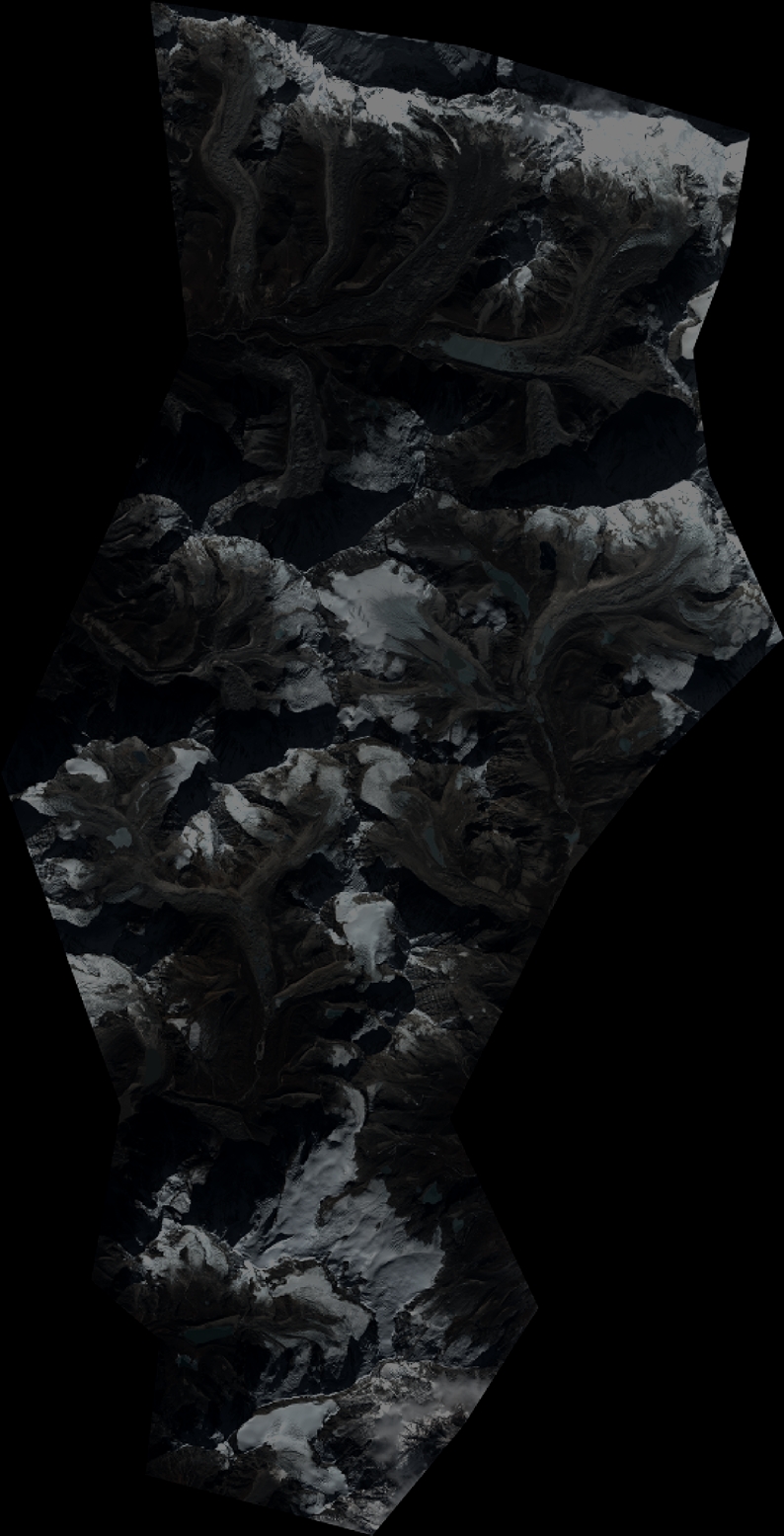
Image dimensions
Number of columns
8727
Number of rows
17096
Number of spectral bands
4
Dataset framing
Vertice
Longitude (DEG)
Latitude (DEG)
Row
Col
#1
86.81186738254647
27.97009213504156
1
#2
86.99237174826681
27.97669536141724
#3
86.99070046870683
27.65057430130083
#4
86.80821667485526
27.63946291536137
Dataset sources
PHR
Coordinate Reference System
Projected Coordinate System
Geocoding tables identification
EPSG(6.3)
Production
Production Date
2012-11-30T11:59:29.635
Job identification
588813101-003
Dataset Producer Identification
SISA
Producer link
http://www.spotimage.fr
Quicklook
Copyright