TYPE:
SENSOR
LAYER:
DS_PHR1A_201211250455455_FR1_PX_E086N27_1120_03214
FORMAT:
DIMAP
RASTER:
image/jp2
General Information
Map Name
Geometric Processing Level
Radiometric Processing Level
BASIC
Image dimensions
Number of columns
34898
Number of rows
68376
Number of spectral bands
1
Dataset framing
Vertice
Longitude (DEG)
Latitude (DEG)
Row
Col
#1
86.81189435097825
27.97007991414669
#2
86.9923488560046
27.97668302021189
#3
86.99068026666613
27.65060254183657
#4
86.80824430117426
27.6394899455265
Dataset sources
PHR
Coordinate Reference System
Projected Coordinate System
Geocoding tables identification
EPSG(6.3)
Production
Production Date
2012-11-30T11:56:32.518
Job identification
588813101-001
Dataset Producer Identification
SISA
Producer link
http://www.spotimage.fr
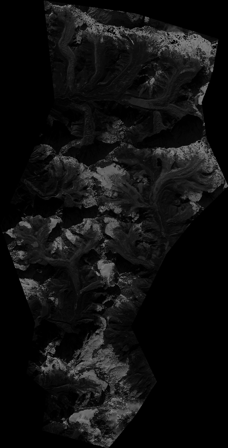
Quicklook
Copyright