TYPE:
SENSOR
LAYER:
DS_PHR1A_201211250456312_FR1_PX_E086N27_1120_03221
FORMAT:
DIMAP
RASTER:
image/jp2
General Information
Map Name
Geometric Processing Level
Radiometric Processing Level
BASIC
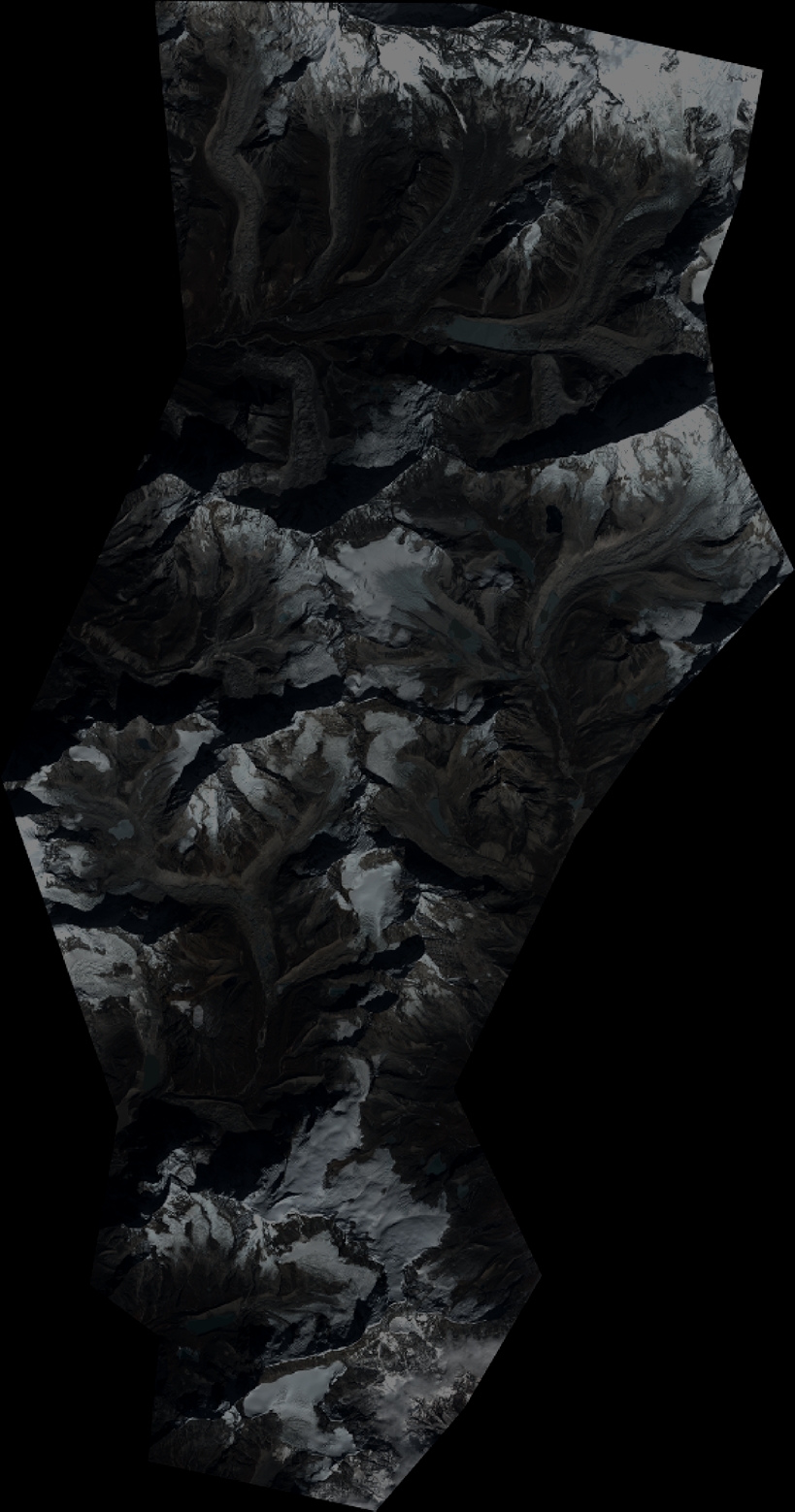
Image dimensions
Number of columns
8997
Number of rows
17127
Number of spectral bands
4
Dataset framing
Vertice
Longitude (DEG)
Latitude (DEG)
Row
Col
#1
86.81103314656208
27.97288111686034
1
#2
86.99317333474063
27.96651666327533
#3
86.99150208003392
27.64404892476314
#4
86.80966952614483
27.65052218337065
Dataset sources
PHR
Coordinate Reference System
Projected Coordinate System
Geocoding tables identification
EPSG(6.3)
Production
Production Date
2012-11-30T11:58:55.033
Job identification
588813101-004
Dataset Producer Identification
SISA
Producer link
http://www.spotimage.fr
Quicklook
Copyright