TYPE:
SENSOR
LAYER:
DS_PHR1A_201211250456312_FR1_PX_E086N27_1120_03221
FORMAT:
DIMAP
RASTER:
image/jp2
General Information
Map Name
Geometric Processing Level
Radiometric Processing Level
BASIC
Image dimensions
Number of columns
35978
Number of rows
68500
Number of spectral bands
1
Dataset framing
Vertice
Longitude (DEG)
Latitude (DEG)
Row
Col
#1
86.81106381016477
27.97285375488836
#2
86.99315256655493
27.96649140261897
#3
86.99148117159876
27.64406175977943
#4
86.80969461488171
27.6505434169584
Dataset sources
PHR
Coordinate Reference System
Projected Coordinate System
Geocoding tables identification
EPSG(6.3)
Production
Production Date
2012-11-30T11:59:00.752
Job identification
588813101-002
Dataset Producer Identification
SISA
Producer link
http://www.spotimage.fr
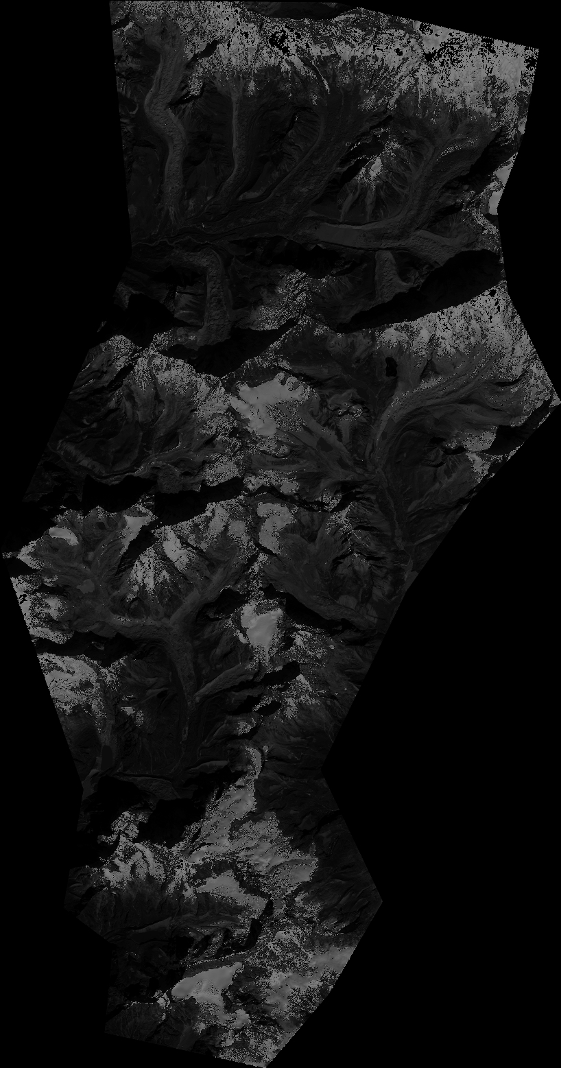
Quicklook
Copyright