TYPE:
SENSOR
LAYER:
DS_PHR1A_201301261349534_FR1_PX_W059S34_1121_01801
FORMAT:
DIMAP
RASTER:
image/jp2
General Information
Map Name
Geometric Processing Level
Radiometric Processing Level
BASIC
Image dimensions
Number of columns
40000
Number of rows
40092
Number of spectral bands
1
Dataset framing
Vertice
Longitude (DEG)
Latitude (DEG)
Row
Col
#1
-58.22489890286507
-33.03542487253797
#2
-57.97320382696778
-33.05682545644259
#3
-57.97355640203722
-33.26128920230767
#4
-58.22434299808454
-33.24219686650864
Dataset sources
PHR
Coordinate Reference System
Projected Coordinate System
Geocoding tables identification
EPSG(6.3)
Production
Production Date
2013-05-02T12:21:06.382
Job identification
617850101-001
Dataset Producer Identification
SISA
Producer link
http://www.spotimage.fr
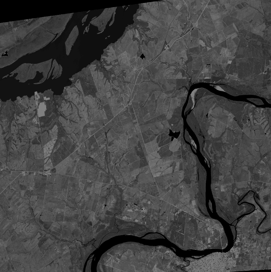
Quicklook
Copyright