TYPE:
SENSOR
LAYER:
DS_PHR1A_201301261349123_FR1_PX_W059S34_1121_01801
FORMAT:
DIMAP
RASTER:
image/jp2
General Information
Map Name
Geometric Processing Level
Radiometric Processing Level
BASIC
Image dimensions
Number of columns
10000
Number of rows
10023
Number of spectral bands
4
Dataset framing
Vertice
Longitude (DEG)
Latitude (DEG)
Row
Col
#1
-58.23046655847102
-33.05620583788622
1
#2
-57.96753660854996
-33.04686250250032
#3
-57.96789501035484
-33.24532726898479
#4
-58.22983768310522
-33.25722947077281
Dataset sources
PHR
Coordinate Reference System
Projected Coordinate System
Geocoding tables identification
EPSG(6.3)
Production
Production Date
2013-05-02T12:22:47.785
Job identification
617848101-002
Dataset Producer Identification
SISA
Producer link
http://www.spotimage.fr
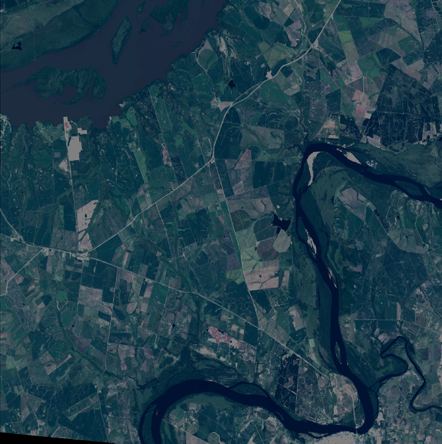
Quicklook
Copyright