TYPE:
SENSOR
LAYER:
DS_PHR1A_201301261349123_FR1_PX_W059S34_1121_01801
FORMAT:
DIMAP
RASTER:
image/jp2
General Information
Map Name
Geometric Processing Level
Radiometric Processing Level
BASIC
Image dimensions
Number of columns
40000
Number of rows
40092
Number of spectral bands
1
Dataset framing
Vertice
Longitude (DEG)
Latitude (DEG)
Row
Col
#1
-58.23045630567227
-33.05621298862738
#2
-57.96752688900397
-33.04686959599051
#3
-57.96788527261698
-33.24533425333128
#4
-58.229827569797
-33.25723653846116
Dataset sources
PHR
Coordinate Reference System
Projected Coordinate System
Geocoding tables identification
EPSG(6.3)
Production
Production Date
2013-05-02T11:57:56.550
Job identification
617848101-001
Dataset Producer Identification
SISA
Producer link
http://www.spotimage.fr
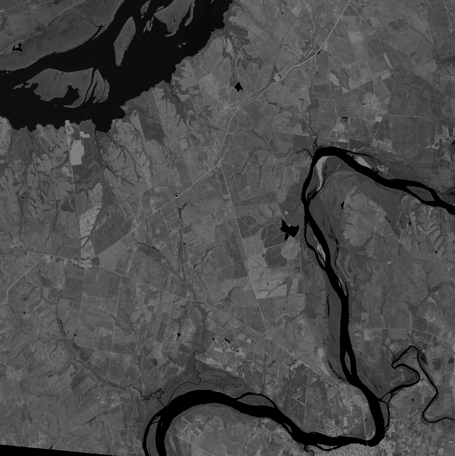
Quicklook
Copyright