TYPE:
SENSOR
LAYER:
DS_PHR1A_201301261349336_FR1_PX_W059S34_1121_01840
FORMAT:
DIMAP
RASTER:
image/jp2
General Information
Map Name
Geometric Processing Level
Radiometric Processing Level
BASIC
Image dimensions
Number of columns
10000
Number of rows
10243
Number of spectral bands
4
Dataset framing
Vertice
Longitude (DEG)
Latitude (DEG)
Row
Col
#1
-58.22503647478744
-33.04501645288037
1
#2
-57.9730321611967
-33.05348365650952
#3
-57.97337390501018
-33.25180489459456
#4
-58.22440143469576
-33.24570623818521
Dataset sources
PHR
Coordinate Reference System
Projected Coordinate System
Geocoding tables identification
EPSG(6.3)
Production
Production Date
2013-05-02T12:23:54.751
Job identification
617849101-002
Dataset Producer Identification
SISA
Producer link
http://www.spotimage.fr
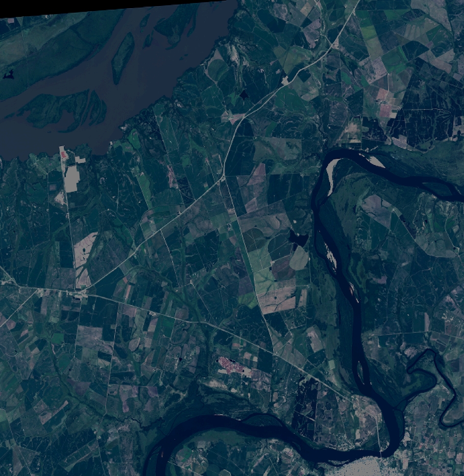
Quicklook
Copyright