TYPE:
SENSOR
LAYER:
DS_PHR1A_201302121407348_FR1_PX_W059S34_1021_01649
FORMAT:
DIMAP
RASTER:
image/jp2
General Information
Map Name
Geometric Processing Level
Radiometric Processing Level
BASIC
Image dimensions
Number of columns
40000
Number of rows
36672
Number of spectral bands
1
Dataset framing
Vertice
Longitude (DEG)
Latitude (DEG)
Row
Col
#1
-58.33424439855315
-33.06694231452613
#2
-58.10579004927169
-33.07470313852238
#3
-58.10526731609774
-33.25155261996515
#4
-58.33483548891073
-33.24272205216774
Dataset sources
PHR
Coordinate Reference System
Projected Coordinate System
Geocoding tables identification
EPSG(6.3)
Production
Production Date
2013-05-02T12:19:13.782
Job identification
617851101-001
Dataset Producer Identification
SISA
Producer link
http://www.spotimage.fr
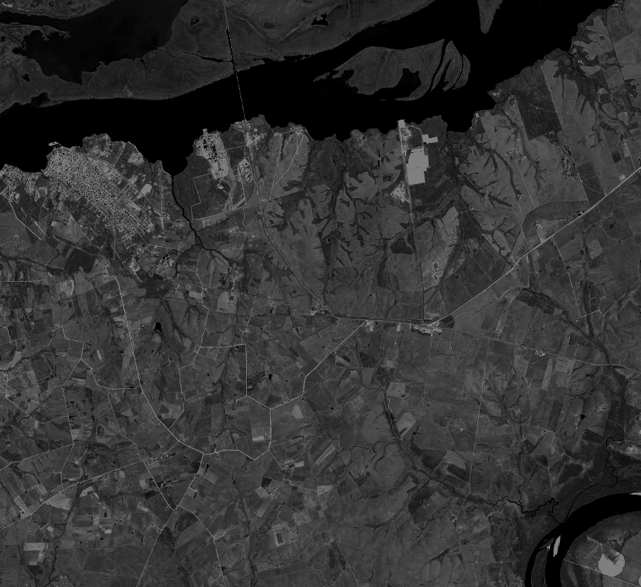
Quicklook
Copyright