TYPE:
SENSOR
LAYER:
DS_PHR1A_201302121407553_FR1_PX_W059S34_1021_01725
FORMAT:
DIMAP
RASTER:
image/jp2
General Information
Map Name
Geometric Processing Level
Radiometric Processing Level
BASIC
Image dimensions
Number of columns
40000
Number of rows
38380
Number of spectral bands
1
Dataset framing
Vertice
Longitude (DEG)
Latitude (DEG)
Row
Col
#1
-58.33365418357941
-33.07081975047252
#2
-58.10636744310703
-33.07119559181658
#3
-58.10588284729872
-33.24907989092475
#4
-58.33431487209691
-33.24750686459547
Dataset sources
PHR
Coordinate Reference System
Projected Coordinate System
Geocoding tables identification
EPSG(6.3)
Production
Production Date
2013-05-02T12:21:51.481
Job identification
617852101-001
Dataset Producer Identification
SISA
Producer link
http://www.spotimage.fr
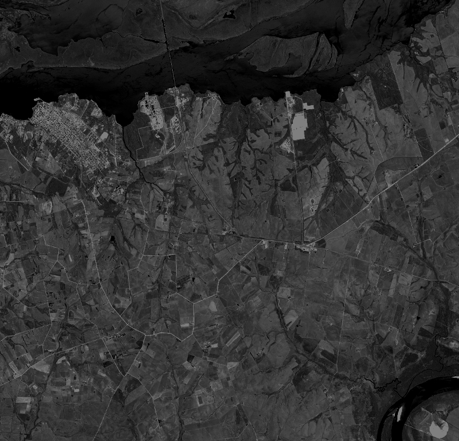
Quicklook
Copyright