TYPE:
SENSOR
LAYER:
DS_PHR1A_201208191041191_FR1_PX_E006N45_1020_01311
FORMAT:
DIMAP
RASTER:
image/jp2
General Information
Map Name
Geometric Processing Level
Radiometric Processing Level
BASIC
Image dimensions
Number of columns
10000
Number of rows
7266
Number of spectral bands
4
Dataset framing
Vertice
Longitude (DEG)
Latitude (DEG)
Row
Col
#1
6.659494593658178
45.87546353345645
1
#2
6.919138039716444
45.87648628510137
#3
6.919029262235094
45.74543731620268
#4
6.658267374210832
45.74428118687513
Dataset sources
PHR
Coordinate Reference System
Projected Coordinate System
Geocoding tables identification
EPSG(6.3)
Production
Production Date
2013-03-13T11:24:43.373
Job identification
609640101-003
Dataset Producer Identification
SISA
Producer link
http://www.spotimage.fr
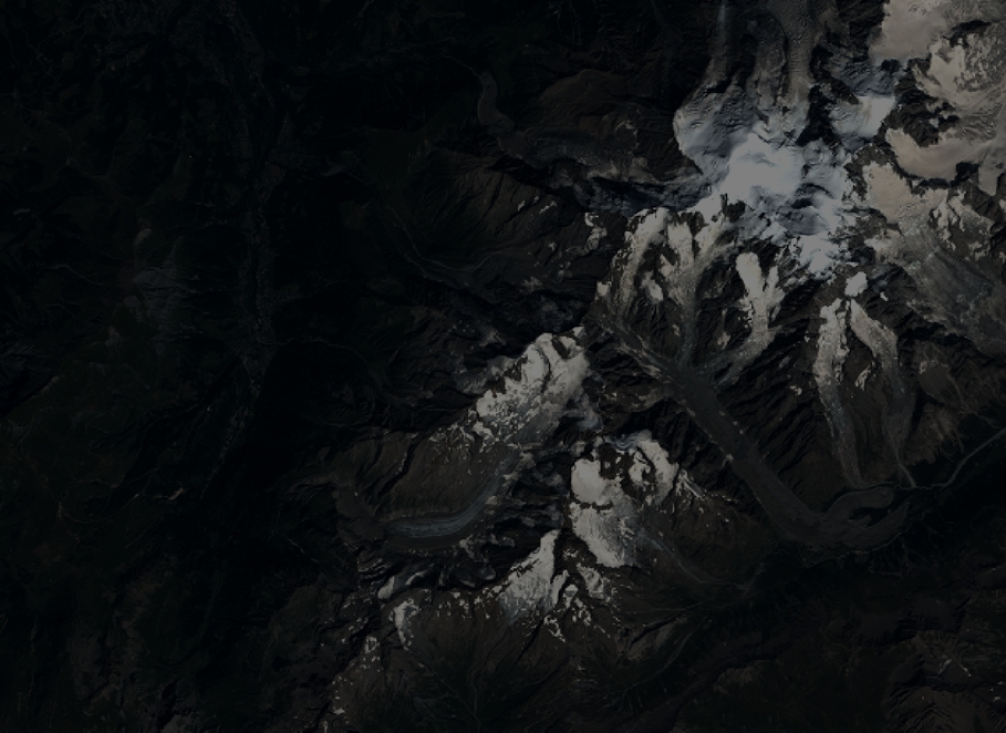
Quicklook
Copyright