TYPE:
SENSOR
LAYER:
DS_PHR1A_201208191040470_FR1_PX_E006N45_1020_01254
FORMAT:
DIMAP
RASTER:
image/jp2
General Information
Map Name
Geometric Processing Level
Radiometric Processing Level
BASIC
Image dimensions
Number of columns
10000
Number of rows
6945
Number of spectral bands
4
Dataset framing
Vertice
Longitude (DEG)
Latitude (DEG)
Row
Col
#1
6.656672291693109
45.87371884562811
1
#2
6.921344108781591
45.87473564766595
#3
6.920994419550787
45.74290754850705
#4
6.65640761954686
45.74436518114639
Dataset sources
PHR
Coordinate Reference System
Projected Coordinate System
Geocoding tables identification
EPSG(6.3)
Production
Production Date
2013-03-13T11:30:34.318
Job identification
609640101-004
Dataset Producer Identification
SISA
Producer link
http://www.spotimage.fr
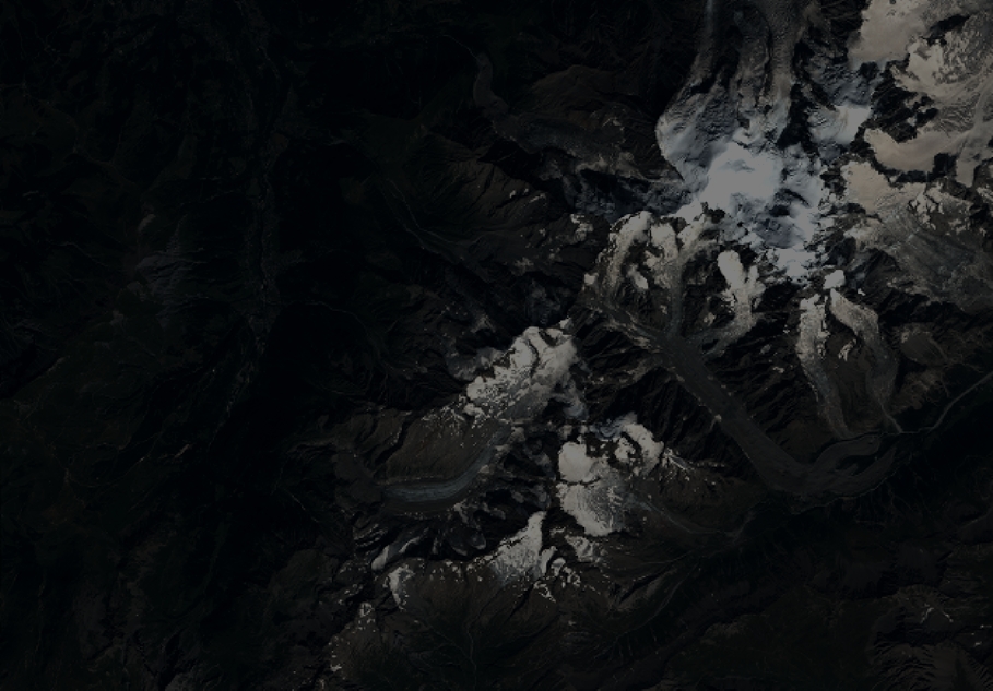
Quicklook
Copyright