TYPE:
SENSOR
LAYER:
DS_PHR1A_201208191041299_FR1_PX_E006N45_1222_02463
FORMAT:
DIMAP
RASTER:
image/jp2
General Information
Map Name
Geometric Processing Level
Radiometric Processing Level
BASIC
Image dimensions
Number of columns
10000
Number of rows
13748
Number of spectral bands
4
Dataset framing
Vertice
Longitude (DEG)
Latitude (DEG)
Row
Col
#1
6.823508416085448
46.01837728853337
1
#2
7.09449387451149
46.02600859545421
#3
7.094046572298728
45.76677291707406
#4
6.821993875760304
45.75933178309295
Dataset sources
PHR
Coordinate Reference System
Projected Coordinate System
Geocoding tables identification
EPSG(6.3)
Production
Production Date
2013-03-13T11:31:30.749
Job identification
609641101-003
Dataset Producer Identification
SISA
Producer link
http://www.spotimage.fr
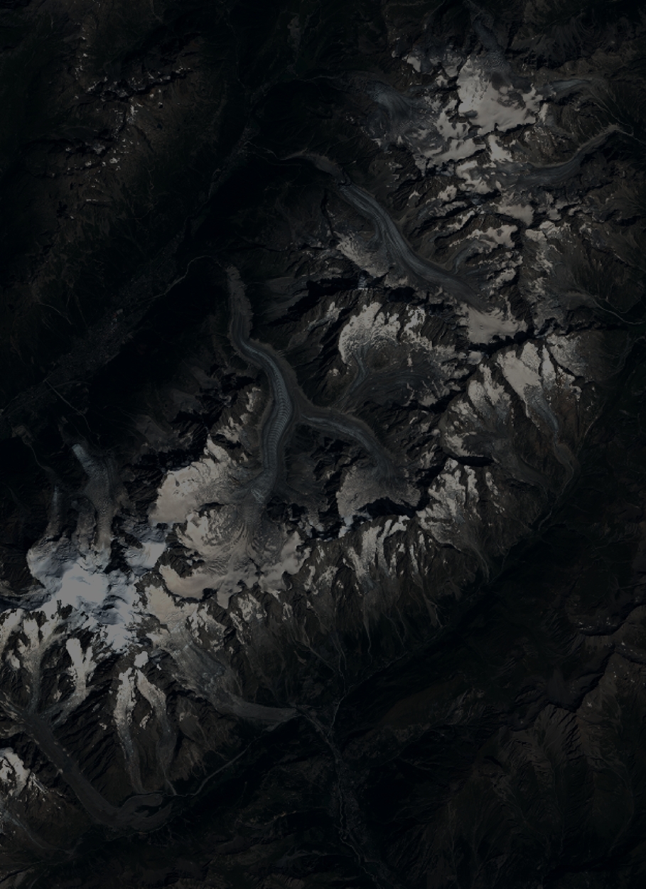
Quicklook
Copyright