TYPE:
SENSOR
LAYER:
DS_PHR1B_201306181350036_FR1_PX_W057S35_1004_01632
FORMAT:
DIMAP
RASTER:
image/jp2
General Information
Map Name
Geometric Processing Level
Radiometric Processing Level
BASIC
Image dimensions
Number of columns
10000
Number of rows
9044
Number of spectral bands
4
Dataset framing
Vertice
Longitude (DEG)
Latitude (DEG)
Row
Col
#1
-56.28389687888756
-34.7800994002472
1
#2
-56.05563016462124
-34.77577321717986
#3
-56.05575451926653
-34.94530045322708
#4
-56.28422853533946
-34.94986545952635
Dataset sources
PHR
Coordinate Reference System
Projected Coordinate System
Geocoding tables identification
EPSG(6.3)
Production
Production Date
2013-06-19T13:43:16.445
Job identification
629608101-002
Dataset Producer Identification
SISA
Producer link
http://www.spotimage.fr
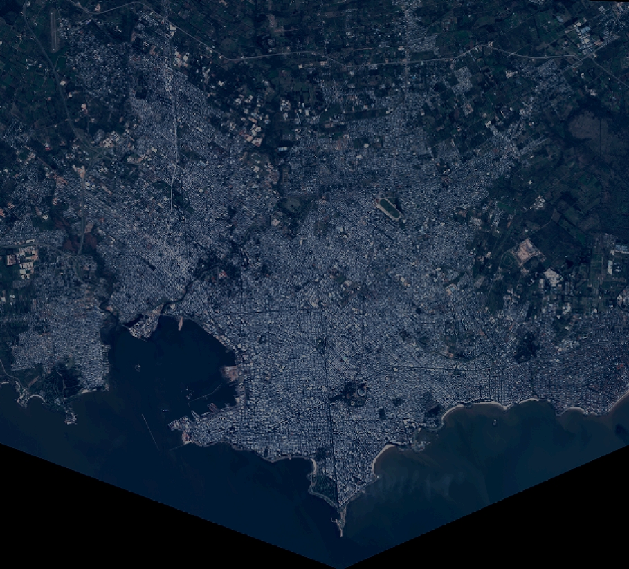
Quicklook
Copyright