TYPE:
SENSOR
LAYER:
DS_PHR1B_201306181350036_FR1_PX_W057S35_1004_01632
FORMAT:
DIMAP
RASTER:
image/jp2
General Information
Map Name
Geometric Processing Level
Radiometric Processing Level
BASIC
Image dimensions
Number of columns
40000
Number of rows
36176
Number of spectral bands
1
Dataset framing
Vertice
Longitude (DEG)
Latitude (DEG)
Row
Col
#1
-56.28388833109612
-34.78010635408058
#2
-56.05562150906493
-34.77577997477478
#3
-56.05574594635391
-34.94530732326754
#4
-56.28421991850914
-34.94987234720447
Dataset sources
PHR
Coordinate Reference System
Projected Coordinate System
Geocoding tables identification
EPSG(6.3)
Production
Production Date
2013-06-19T13:43:09.527
Job identification
629608101-001
Dataset Producer Identification
SISA
Producer link
http://www.spotimage.fr
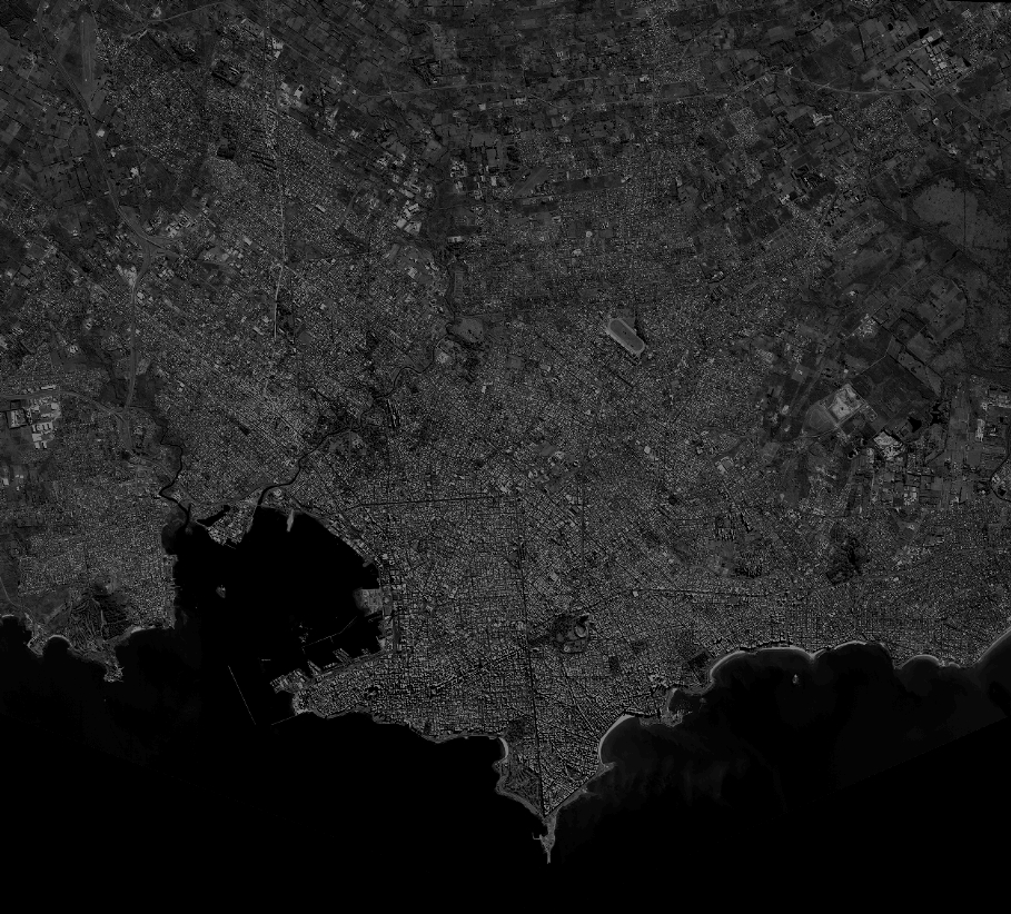
Quicklook
Copyright