TYPE:
SENSOR
LAYER:
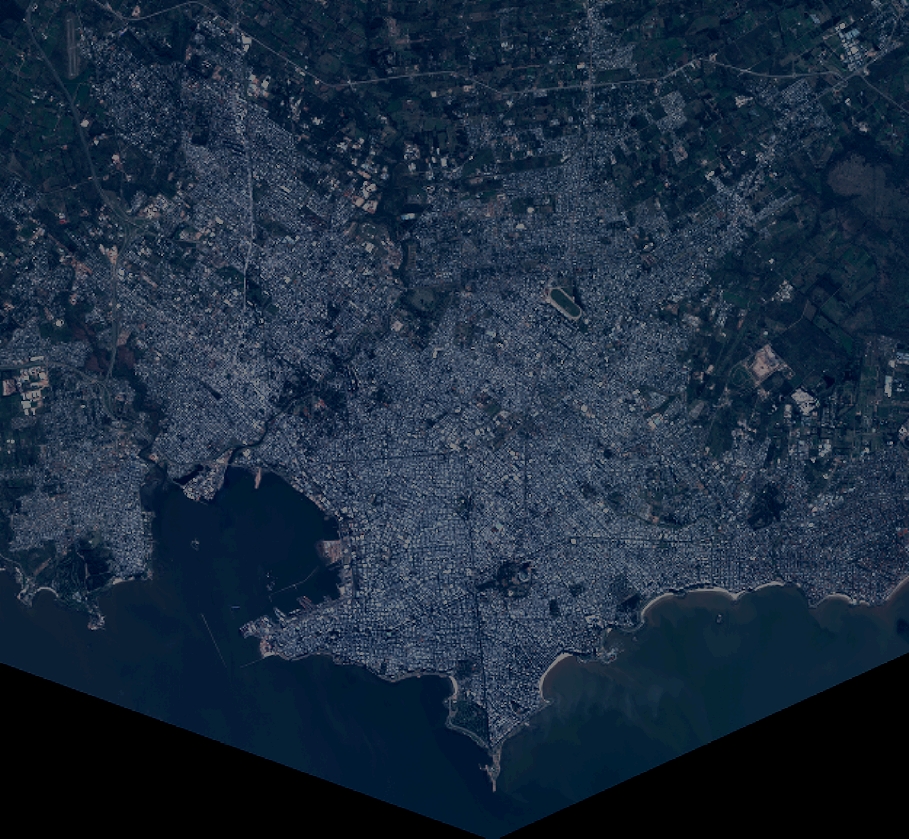
DS_PHR1B_201306181350124_FR1_PX_W057S35_1004_01663
FORMAT:
DIMAP
RASTER:
image/jp2
General Information
Map Name
Geometric Processing Level
Radiometric Processing Level
BASIC
Image dimensions
Number of columns
10000
Number of rows
9218
Number of spectral bands
4
Dataset framing
Vertice
Longitude (DEG)
Latitude (DEG)
Row
Col
#1
-56.28205290036493
-34.77969415185557
1
#2
-56.05743796046007
-34.77796735480318
#3
-56.05759997288714
-34.94643761953112
#4
-56.282425022358
-34.94828932513268
Dataset sources
PHR
Coordinate Reference System
Projected Coordinate System
Geocoding tables identification
EPSG(6.3)
Production
Production Date
2013-06-19T13:48:59.357
Job identification
629612101-002
Dataset Producer Identification
SISA
Producer link
http://www.spotimage.fr
Quicklook
Copyright