TYPE:
SENSOR
LAYER:
DS_PHR1B_201306181350124_FR1_PX_W057S35_1004_01663
FORMAT:
DIMAP
RASTER:
image/jp2
General Information
Map Name
Geometric Processing Level
Radiometric Processing Level
BASIC
Image dimensions
Number of columns
40000
Number of rows
36872
Number of spectral bands
1
Dataset framing
Vertice
Longitude (DEG)
Latitude (DEG)
Row
Col
#1
-56.28204443280394
-34.77970102732566
#2
-56.05742948760462
-34.77797416385935
#3
-56.05759153771082
-34.94644440790635
#4
-56.28241653837719
-34.94829613114364
Dataset sources
PHR
Coordinate Reference System
Projected Coordinate System
Geocoding tables identification
EPSG(6.3)
Production
Production Date
2013-06-19T13:48:39.702
Job identification
629612101-001
Dataset Producer Identification
SISA
Producer link
http://www.spotimage.fr
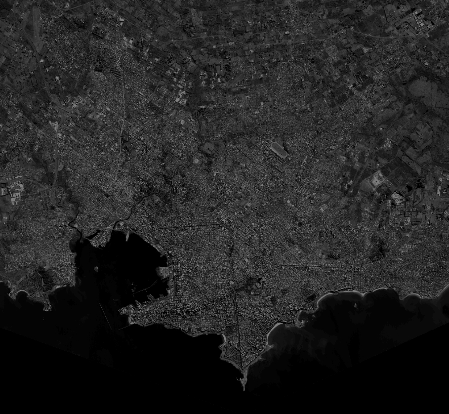
Quicklook
Copyright