TYPE:
SENSOR
LAYER:
DS_PHR1B_201306181350365_FR1_PX_W057S35_1004_01641
FORMAT:
DIMAP
RASTER:
image/jp2
General Information
Map Name
Geometric Processing Level
Radiometric Processing Level
BASIC
Image dimensions
Number of columns
10000
Number of rows
9095
Number of spectral bands
4
Dataset framing
Vertice
Longitude (DEG)
Latitude (DEG)
Row
Col
#1
-56.28161719393911
-34.77893339654486
1
#2
-56.05762590095905
-34.78042152714163
#3
-56.05783651705036
-34.94803388335868
#4
-56.28214738934769
-34.94637344885584
Dataset sources
PHR
Coordinate Reference System
Projected Coordinate System
Geocoding tables identification
EPSG(6.3)
Production
Production Date
2013-06-19T13:49:17.084
Job identification
629613101-002
Dataset Producer Identification
SISA
Producer link
http://www.spotimage.fr
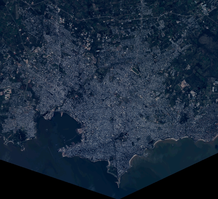
Quicklook
Copyright